Master Plan Overview
Amaravati Master Plan: Planning Horizon, Land Use and Phased Targets
Amaravati's master plan, administered by APCRDA, covers a 217.23 sq km capital city with a planning horizon out to 2050, but only a fraction of that land is targeted for development by the near-term 2029 milestone under the revived World Bank/ADB-backed programme.
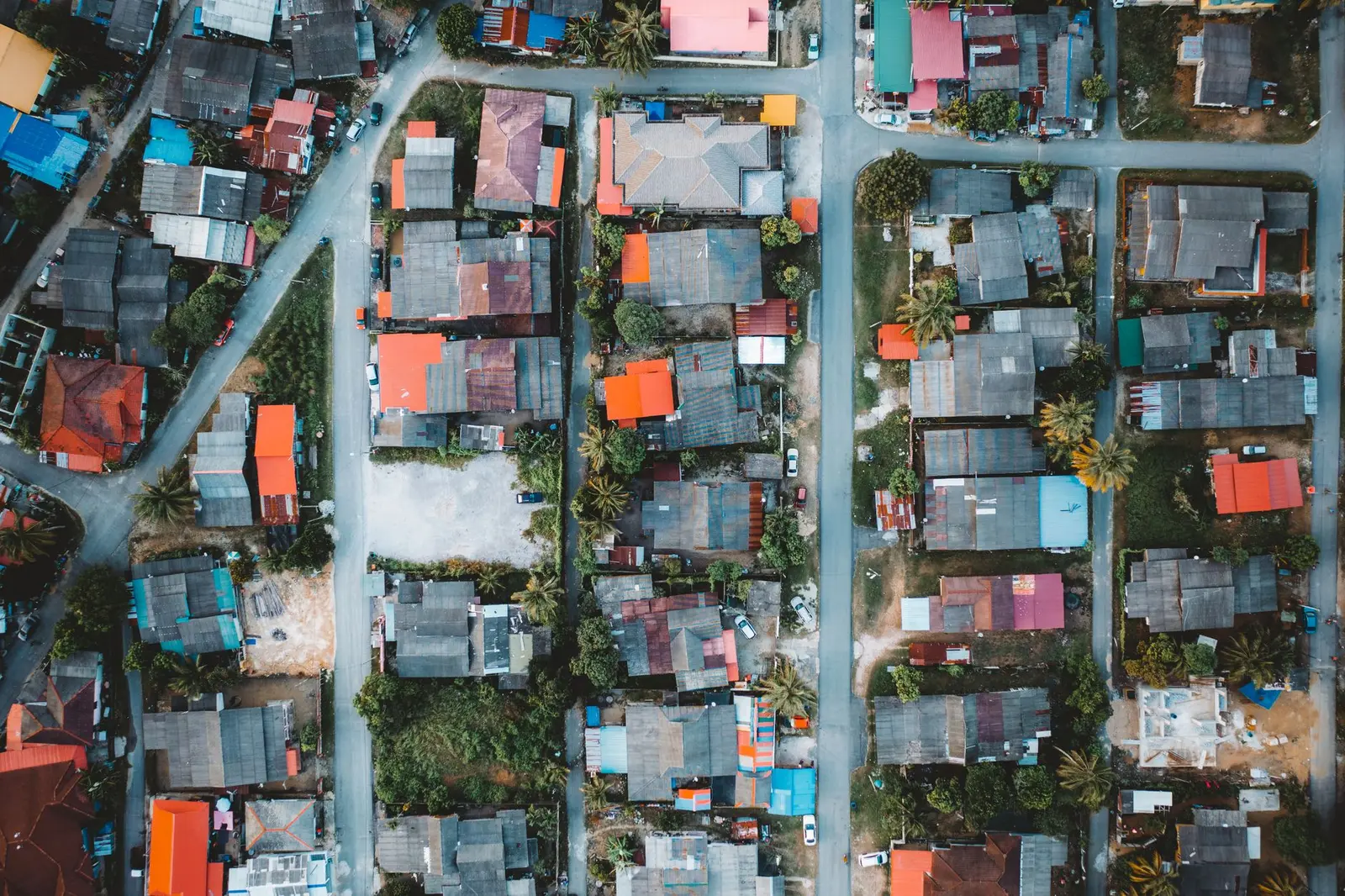
| Total Capital City area | 217.23 sq km (~53,748 acres) |
|---|---|
| Seed Capital Area | 16.94 sq km |
| Planning horizon | Master plan implemented from 2016; horizon to 2050 |
| APCRDA jurisdiction (wider region) | 8,352.69 sq km |
| Land pooled so far (as of Sept 2024) | 34,389.79 acres (90.6% of target) |
| Phase 1 programme target year | 2029 (Zones 1–7 and Zone 10) |
| Population/jobs target by 2050 | 3.5 million residents / 1.5 million jobs (per APCRDA) |
| Master plan consultants | Surbana Jurong (detailed master plan); Foster + Partners (city design) |
Planning Horizon and Overall Scale
The APCRDA Masterplan 2050 zone framework governs all land use and development across the 217.23 sq km Amaravati Capital City, prepared by the Andhra Pradesh Capital Region Development Authority (APCRDA) and implemented from 2016 with a planning horizon to 2050. This 217.23 sq km footprint is the Capital City proper — distinct from the much larger APCRDA jurisdictional area. The proposed capital city project of Amaravati covers an area of 217.23 sq km with the seed capital in an area of 16.94 sq km, while the entire capital region spans 8,352.69 sq km across Krishna and Guntur districts. Within the Capital City, the Seed Capital Area, covering 16.94 sq km, houses the Amaravati Government Complex with the Secretariat and High Court, and also includes a Central Business District as the city's economic hub.
A separate, longer-range document exists for the wider region: a draft perspective plan for 2050 for the APCRDA region outlines land-use categories including agriculture, urban, industrial and logistics zones across a total area of around 3,820 sq km, with existing habitations allowed to continue. This regional perspective plan should not be confused with the Detailed Master Plan (DMP) for the 217.23 sq km Capital City itself.
Total Planned Area vs. Area Targeted by 2029 — Don't Confuse the Two
The 217.23 sq km figure is the full, long-horizon planned extent of Amaravati Capital City under the 2050 master plan. It is not the area being built out right now. A much smaller slice is being actively financed and developed toward a 2029 milestone.
The development of Amaravati Capital City is divided into two phases based on land availability and strategic investment needs. Phase 1 focuses on constructing public buildings, basic trunk infrastructure, and neighbourhood infrastructure for Zones 1–7 and Zone 10, while Phase 2 will cover the remaining trunk infrastructure and neighbourhood services for other zones. Within this, only about 1 percent (224.45 acres) of the 20,420 acres needed for Phase 1 infrastructure remained outstanding as of the relevant assessment, out of 34,389.79 acres pooled overall.
The financing timeline attached to this near-term build-out is explicit: the government's Phase I programme, worth US$3.644 billion, runs from 2025 to 2029, with US$1.784 billion coming from a World Bank/ADB-supported Program-for-Results instrument. Separately, an earlier public target had set overall city completion for the same year: the capital city was to be spread over 216 sq km, and house over 3.5 million people with completion set for 2029. As of mid-2026, that 2029 completion date for the full city should be read as an aspirational target tied to Phase 1 infrastructure and government-complex readiness, not full build-out of all 217 sq km.
Land-Use Split
The original Surbana Jurong-authored master plan allocates Capital City land across use categories. About one-third of the capital area was proposed to be dedicated to residential spaces. Further, 30 percent was proposed for parks and open spaces, 13 percent for roads and infrastructure (covering 600 km by 2050), 11 percent for commercial establishments, 10 percent for special developments, and 4 percent for industrial use.
Separately, government status briefings describe the plan in terms of a broader green/open-space commitment: the masterplan was prepared with over 30% blue-green spaces, with existing villages kept intact and incorporated into the plans. Some marketing sources cite a higher green-space figure (around 51–60%) for specific sub-zones such as the Seed Capital Area rather than the full city — treat those as sub-area figures, not the citywide split, and note they are not sourced to an official APCRDA notification.
Phases of Development
Amaravati's build-out is proceeding in overlapping tracks: a core administrative area that is already operational, a Phase 1 infrastructure push targeted for 2029, a tentative Phase 2 for remaining zones, and a separate land-pooling expansion.
- Seed Capital Area / Government Complex — the temporary Andhra Pradesh Secretariat at Velagapudi was completed on October 3, 2016, and by October 17, 2016, five of six planned blocks began operations. The Andhra Pradesh High Court also moved to a new temporary building in Amaravati. This 16.94 sq km area is the only part of the city with substantial completed construction as of the plan's status.
- Phase 1 (Zones 1–7 and Zone 10) — target 2029. Phase 1 focuses on constructing public buildings, basic trunk infrastructure, and neighbourhood infrastructure for Zones 1–7 and Zone 10. This is the portion covered by the 2025–2029 World Bank/ADB-supported financing programme.
- Phase 2 (remaining zones) — no fixed year yet. Phase 2 will cover the remaining trunk infrastructure and neighbourhood services for other zones. The timeline for the wider integrated urban development programme's Phasing 2 and 3 is explicitly noted as tentative.
- Land-pooling expansion (separate from build-phases) — the CRDA approved land pooling of an additional 20,494 acres from four villages in Amaravati mandal and three villages in Thullur mandal for the development of Amaravati. A second pooling phase is expected to start from December 2025, covering around 16,000 acres.
Population and Employment Targets
Official APCRDA status briefings converge on a mid-century target: City projections by 2050 point to a 3.5 million resident population, 1.5 million jobs, and 0.9 million resident families, with more than 90,000 jobs expected in the first ten years. The same briefing frames Amaravati's design ambition around liveability: the city was designed with the objective of being the 'happiest city' in the world, hosting over 3.5 million population by 2050, prepared with over 30% blue-green spaces, and keeping existing villages intact within the plan.
A more recent World Bank technical note gives a somewhat higher figure for the same horizon: the Amaravati Master Plan for the Capital City, developed in 2015, outlines a vision for a sustainable, livable city designed to accommodate 4 million residents by 2050. Given this discrepancy between sources, treat 3.5–4 million residents and roughly 1.5 million jobs by 2050 as the operative planning range rather than a single fixed number, and note both figures are pre-2029 projections, not current population counts.
Planner / Consultant
Two internationally known firms are associated with different layers of the plan. The Draft Detailed Master Plan of Capital City-Amaravati was prepared by M/s Surbana Jurong Consultants Pte Ltd, Singapore. Surbana Jurong's role continues into the post-2024 revival: a Singapore-based consortium proposal and CRDA engagement for Phase 2 master planning has also involved Surbana Jurong, per recent coverage of the plan's ongoing evolution.
Separate from the detailed zoning plan, the overall city-design concept — including the government complex layout and urban grid — is credited to a London-based practice: Amaravati's master plan was developed by London-based Foster + Partners, with a governmental complex at the city's centre surrounded by a strong urban grid. Foster + Partners' own project page confirms the firm's involvement in the Amaravati masterplan.
Where to Find Official Plan Documents
The primary source for Amaravati's master plan documents is APCRDA's own website, which hosts the official Master Plans section (including layout and zoning references) — see crda.ap.gov.in – Amaravati Master Plans. Detailed Master Plan PDFs for the Capital City are also mirrored via the Amaravati Development Corporation Limited (ADCL) downloads page. For the financing and phasing framework behind the current 2025–2029 build-out, the World Bank and Asian Development Bank project appraisal documents (Program-for-Results / Technical Assessment for P507508) contain the underlying land-area and disbursement-linked targets. This page summarises figures from those documents; readers should consult the original filings directly for full technical detail rather than relying solely on secondary summaries.
Development phases
Land use
Frequently asked questions
What is the total planned area of Amaravati Capital City?
The Capital City covers 217.23 sq km (about 53,748 acres). This is distinct from the much larger APCRDA jurisdictional region of 8,352.69 sq km, which includes surrounding conurbation beyond the city itself.
Is all 217 sq km being developed by 2029?
No. The 2029 target applies mainly to Phase 1 infrastructure covering Zones 1–7 and Zone 10 (about 20,420 acres) under the current World Bank/ADB-backed 2025–2029 programme, not the entire 217 sq km city.
Who designed Amaravati's master plan?
The Detailed Master Plan was prepared by Surbana Jurong Consultants of Singapore, while the overall city-design concept, including the government complex, is credited to Foster + Partners of London.
What population and jobs does the plan target?
APCRDA's own projections cite 3.5 million residents and 1.5 million jobs by 2050, though a separate World Bank technical note cites up to 4 million residents by the same year — treat this as a range rather than a single confirmed figure.
What share of land is reserved for green and open space?
The original Surbana Jurong plan allocates roughly 30% of the Capital City to parks and open space, alongside about one-third for residential use, 13% for roads/infrastructure, 11% commercial, 10% special development, and 4% industrial.
Where can I view the official Amaravati master plan documents?
The APCRDA website hosts the official Master Plans section at crda.ap.gov.in, and the Amaravati Development Corporation Limited (ADCL) site mirrors Detailed Master Plan PDFs. Financing and phasing details are also documented in World Bank and ADB project appraisal filings.
How much land has been pooled for Amaravati so far?
As of September 2024, about 34,389.79 acres (90.6% of the target) had been pooled through the voluntary Land Pooling Scheme, with roughly 3,551.79 acres still to be pooled for the full city footprint.
Sources
- APCRDA — Amaravati Master Plans (official)
- Amaravati Status Report by Commissioner, APCRDA
- World Bank — Amaravati Integrated Urban Development Program, Technical Assessment (P507508)
- World Bank — Amaravati Capital City Development Program (P507508)
- ADB — Amaravati Inclusive and Sustainable Capital City Development Program
- Detailed Master Plan of Capital City-Amaravati (ADCL)
- Foster + Partners — Amaravati Masterplan
- Construction World — Amaravati: Take 2
- Forbes India — Amaravati: The lost city awaiting resurrection
- Wikipedia — Amaravati
- Wikipedia — Andhra Pradesh Capital Region Development Authority
- Centre for Financial Accountability — Amaravati Capital City project