Transport & Access
Connectivity: KHB Kengeri Township (B.M. Kaval International Township)
The KHB township planned across B.M. Kaval and neighbouring Kengeri Hobli villages sits next to an already-built metro terminus and national highway, but most of the bigger regional projects that will eventually serve it — suburban rail, the Peripheral Ring Road, and an airport metro line — are still under construction or on paper as of mid-2026.
| Site location | B.M. Kaval, Chinnakuruchi, Vasanthanahalli, Devagere and K. Gollahalli villages, Kengeri Hobli, Bengaluru South taluk |
|---|---|
| Nearest metro stations | Kengeri and Challaghatta (Purple Line western terminus) — both operational |
| Adjacent national highway | NH 275 (Bengaluru–Mysuru Expressway / Mysuru Road) |
| Nearest tolled expressway | NICE Road (Bangalore–Mysore Infrastructure Corridor) — operational |
| Road distance to Kempegowda International Airport | Roughly 45–60 km by road, about 1–1.5 hours (estimates vary by route) |
| Planned suburban rail link | Parijaata Line, Kengeri–Whitefield, 35.2 km — approved, not yet under active construction |
| Existing railway station nearby | Kengeri railway station on the South Western Railway network |
| Peripheral Ring Road relevance | Runs north/east of the city; does not pass through Kengeri; first phase targeted mid-2027 |
Airports
There is no airport, and no direct metro line to one, at the township site itself. Bengaluru Metro Phase 2B is a proposed Airport Line that would connect KR Puram to Kempegowda International Airport (KIAL), but Bangalore metro trains currently don't go to Kempegowda International Airport, as the Airport Line has been proposed and cleared but construction is yet to begin. Today the practical route from Kengeri to the airport is by road; distance estimates from different route-planning sources range from about 45 km to 60+ km depending on the road taken, with the fastest way to get from Kengeri Satellite Town to Kempegowda International Airport being to drive, which takes 45 min under light traffic, though other estimates put the driving distance closer to roughly 50 kilometers, with the trip typically taking about 1 hour. Public transport requires a bus change; Purple Line passengers can travel to Krishnarajapuram (KR Puram) metro station and then board a BMTC Airport Shuttle Bus (KIA series) to reach the airport — there is no through metro or single-bus service from Kengeri as of mid-2026.
Expressways and Highways
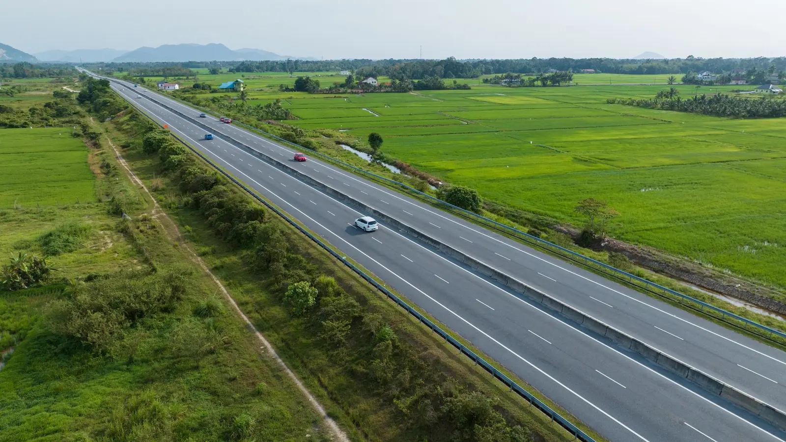
The single biggest connectivity asset for this site is the highway running past it. The main Bengaluru–Mysuru NH 275 Expressway, which leads towards Mysore and Mangalore, passes alongside the Challaghatta metro station, just beyond Kengeri. Multiple reports on the KHB project itself note that the land is strategically located off Mysuru Road and well-connected by NICE Road and the Namma Metro Purple Line extension.
NICE Road — formally the Bangalore–Mysore Infrastructure Corridor — is already operational and useful for bypassing city traffic. The NICE Ring Road in Bangalore is a privately built, operational expressway project that connects Tumkur Road, Mysore Road, Bannerghatta Road, Hosur Road, and Kanakapura Road, and it is a private toll-based expressway connecting major highways around Bangalore.
The Peripheral Ring Road (PRR), Bengaluru's third ring road, will not physically pass through Kengeri — it is aligned across north and east Bengaluru. It is an 8-lane, 73.5 km expressway by BDA meant to bypass the Outer Ring Road, diverting heavy traffic and forming a 116 km ring together with NICE Road. As of early-to-mid 2026, cabinet approval for higher compensation payouts came in January 2026, with first-phase land acquisition advancing toward a mid-2027 target. Its relevance to this township is indirect — it will eventually close the loop with the NICE Road corridor that the site already sits beside, rather than serve it directly.
Rail and Suburban Rail
Kengeri already has a conventional railway station on the South Western Railway network, cited repeatedly as an existing asset of the wider Kengeri area, alongside BMTC buses and Kengeri Railway Station, which facilitate quick movement from Kengeri Satellite Town to nearby states and cities.
The larger change in prospect is Bengaluru's under-construction suburban rail network (K-RIDE / BSRP), which includes a line running through Kengeri. The 35.2 km Parijaata line is planned to connect Whitefield with Kengeri via Krishnarajapura and Benniganahalli, with stations proposed at Kengeri, RV College (future), Jnanabharati, Nayandahalli, Krishnadevaraya, Jagjeevanram Nagar, KSR Bengaluru City, Kumara Park, Bengaluru Cantt, Bengaluru East, Baiyapannahalli, Krishnarajapura, Hoodi and Whitefield. However, this line is not among the priority corridors: as of late 2024/2025 reporting, only Benniganahalli to Chikkabanavara (25 km) and Heelalige to Rajanukunte (46.8 km) were confirmed for a December 2026 opening, and system-wide, one detailed tracker recorded Operational: 0 km | Under Construction: 54.9 km | Approved: 94.4 km — meaning the Kengeri-side Parijaata line sits in the "approved but not yet under active construction" category. A separate local report frames it more optimistically, noting that a proposed suburban railway corridor connecting Kengeri to Whitefield, known as the Parijaata Line, is expected to further enhance the area's connectivity once completed — but gives no firm completion date. No dedicated freight corridor (DFC) runs through or near this site; India's Eastern and Western DFCs do not extend into Karnataka, so this is not a relevant connectivity factor for the township.
Metro and Future Rapid Transit
This is the one mode that is genuinely operational today, and it sits right next to the proposed township. Kengeri metro station opened to the public on 30 August 2021 as the western terminus of an initial 7.5 km extension from Mysore Road, and the line was then pushed further out: trial runs on the Kengeri–Challaghatta section commenced on 29 July 2023, and the station opened with scheduled services from 9 October 2023. That extension made the whole Purple Line operational from Whitefield (Kadugodi) to Challaghatta, a corridor of 43.49 km with 37 stations. News coverage of the KHB township repeatedly flags this as a selling point, noting the site benefits from proximity to NICE Road and the Purple Line extension of Namma Metro, and that the extended Namma Metro Purple Line now connects Kengeri to central and eastern Bengaluru.
Looking further ahead, in November 2023 the Government of Karnataka announced plans to extend the Purple Line westwards to Bidadi and the Ramanagara district headquarters — this remains a proposal with no construction start date confirmed as of mid-2026. Bengaluru has no Regional Rapid Transit System (RRTS) of the Delhi-NCR type; that mode is not applicable to this location.
Ports
Ports are not a relevant connectivity factor for this project. The township is a residential/housing scheme, not an industrial or logistics park, and Karnataka's nearest seaports lie a considerable distance from Bengaluru. No source reviewed ties this KHB scheme to any port-linked freight or logistics plan.
Internal Road Network
At this stage the township's internal road layout has not been finalised — the project is still at the land-acquisition and master-planning stage. KHB's own tendering confirms this: the board floated a tender for Town Planning, Architectural and Engineering Firms for the proposed development of an International Level Township and Housing Project at B.M. Kaval, Chinnakuruchi, Vasanthanahalli, Devagere and K. Gollahalli villages of Kengeri Hobli, and separately tenders were invited through the Karnataka Public Procurement Portal for land acquisition and for appointing an architectural and engineering firm to design and execute the township. Until this design work is complete and made public, no internal road hierarchy, widths, or layout plan can be reported.
Frequently asked questions
Is the KHB Kengeri township connected to Namma Metro right now?
The nearest stations — Kengeri and Challaghatta, the Purple Line's western terminus — are already operational (Kengeri since August 2021, extended to Challaghatta since October 2023), and both sit close to the B.M. Kaval site.
How far is the site from Kempegowda International Airport?
Estimates vary by exact route and source, generally falling between about 45 km and 60+ km by road, translating to roughly 45 minutes to over an hour of driving depending on traffic; there is no direct metro or single-bus service to the airport as of mid-2026.
Will the Bengaluru suburban rail (Parijaata Line) serve this township?
A Kengeri–Whitefield suburban rail corridor called the Parijaata Line (about 35.2 km) is approved, but as of the latest available progress tracking it is not among the priority corridors targeted for a December 2026 opening and has no confirmed completion date.
Which highway runs past the site?
NH 275, the Bengaluru–Mysuru Expressway (commonly called Mysuru Road), passes right alongside the Challaghatta metro station near the site, and the NICE Road tolled expressway is also nearby and operational.
Does the Peripheral Ring Road (PRR) pass through this area?
No. The PRR's alignment runs across north and east Bengaluru; it does not pass through Kengeri. Its first phase was targeted for mid-2027 as of early 2026, with land acquisition still ongoing.
Is there a dedicated freight corridor near the township?
No. India's Eastern and Western Dedicated Freight Corridors do not extend into Karnataka, so this is not a relevant factor for the site.
Has KHB finalised the internal road layout for the township?
Not yet. The project is still at the land-acquisition and master-planning stage, with KHB inviting tenders for architectural and town-planning firms to design the township, including its internal roads.
Sources
- Kengeri township project set to transform Bengaluru's housing landscape
- Karnataka Housing Board plans 500-acre township near Kengeri
- Karnataka Housing Board (KHB) to Acquire 315 Acres Near Kengeri for Affordable Housing
- KHB Township Near Kengeri: Location, Land Model & Timeline Explained
- Karnataka Housing Board Tenders
- New 500-acre township to come up near Kengeri
- Kengeri Satellite Town Bangalore - Map, Projects, Photos & Reviews
- Bengaluru Suburban Railway - Wikipedia
- Bengaluru Suburban Rail: Route Map & Status Updates
- Bengaluru's Traffic Solution On Track: Two Key Suburban Rail Corridors Slated For 2026 Completion
- Bengaluru Suburban Rail Project: A Progress Amidst Uncertainties
- Peripheral Ring Road Bangalore (PRR): Map, Status & Impact
- Bangalore Peripheral Ring Road – Information & Status
- NICE Ring Road, Bangalore: Complete Guide
- Bengaluru's Ring Roads and How They Align - OpenCity
- Purple Line (Namma Metro) - Wikipedia
- Challaghatta metro station - Wikipedia
- Kengeri metro station — Grokipedia
- Bangalore Purple Line Metro Route, Stations List, Map & Timings - YoMetro
- Bangalore Metro: Map, Timings, Routes, Phase 2, Stations
- Kengeri Satellite Town to Kempegowda International Airport - Rome2Rio
- Kengeri to Bangalore Airport Cabs - Chikucab