Connectivity & Transport
Third Mumbai (KSC New Town): Connectivity — Airports, Expressways, Rail and Metro
Third Mumbai (KSC New Town) sits at the junction of two of Maharashtra's largest infrastructure bets — the Atal Setu sea bridge and the Navi Mumbai International Airport — with a mix of already-operational links, projects under active construction, and corridors still on paper.
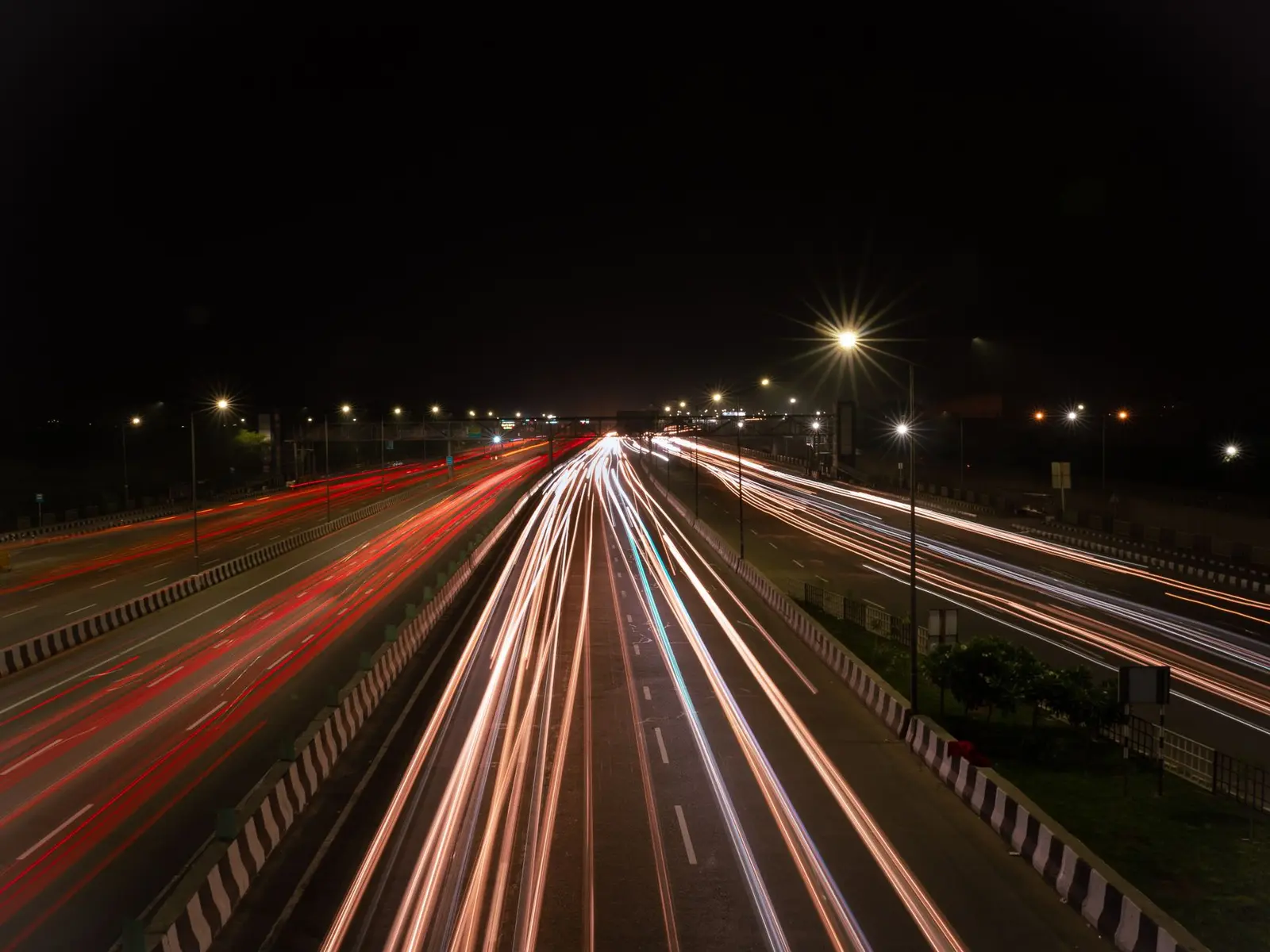
| Atal Setu (MTHL) | 21.8 km sea link, operational; Sewri to Chirle in ~20 minutes |
|---|---|
| Navi Mumbai International Airport | Domestic ops since 25 Dec 2025; international ops from 15 July 2026 |
| Virar-Alibaug Multimodal Corridor | 126 km; Phase 1 (96.41 km, Navghar–Balavali) in land acquisition/BOT tendering, 2026 |
| Panvel–Karjat suburban rail | 29.6 km, MUTP-III; ~90% complete (May 2026), handover to Central Railway targeted by Oct 2026 |
| Metro Line 8 (Gold Line) | ~35 km CSMIA–NMIA link, approved under PPP model, late 2025 — proposed, not yet under construction |
| Navi Mumbai Metro Line 1 | Operational (Belapur–Pendhar); extension toward the airport planned |
| Freight corridor | JNPT-based Dedicated Freight Corridor cited by MMRDA as an existing regional link |
| Existing highways | Mumbai–Goa Highway (NH-66) and Mumbai–Pune Expressway pass through/near the KSC area |
Airports
The single biggest connectivity driver for KSC New Town is the Navi Mumbai International Airport (NMIA) at Ulwe, which falls inside the region's influence zone. Status: operational (phased). NMIA was inaugurated on 8 October 2025 and began commercial domestic operations from 25 December 2025. In the months since, it has ramped up to well over a hundred flight movements a day, with an initial designed capacity of around 20 million passengers a year.
International services are the next milestone. Navi Mumbai International Airport is set to begin international passenger flights and cargo freighter operations from July 15, marking a major milestone in its phased rollout. Each flight operates twice weekly on Wednesdays and Fridays, with frequency increasing to three weekly services from July 29, 2026. Cargo is being prioritised alongside passenger flights: the facility is targeting approximately 18 weekly freighter flights from day one.
The airport is designed to scale well beyond its first phase — the modular design allows the airport to handle up to 90 million passengers annually over successive phases. In 2025, CIDCO initiated a process to appoint a consultant for a techno-feasibility study for a third runway at the airport. The existing Chhatrapati Shivaji Maharaj International Airport (CSMIA) in the western suburbs continues to operate as a second hub for the metropolitan region rather than being replaced.
Expressways & National Highways
Operational: The Atal Setu (Mumbai Trans Harbour Link) is the fastest existing road link into the KSC area. Now fully operational, this 21.8 km sea bridge has slashed travel time from South Mumbai to the KSC gateway (Chirle) to just 20 minutes. The region also sits along established arterial highways — MMRDA's own overview of the New Town area notes it is well connected by Navi Mumbai International Airport, suburban railway network, metro rail network, Multi-modal corridor, Mumbai-Goa highway, Mumbai-Pune expressway, JNPT based Dedicated Freight Corridor, alongside the airport itself.
Under construction / land acquisition stage (as of mid-2026): The Virar-Alibaug Multimodal Corridor (VAMMC) is the major new expressway planned to run through the KSC belt. This 126 km mega-highway will connect the northern fringes of the MMR to the southern Raigad coast, with KSC New Town sitting right at its center. Phase I is a 96.41 km long stretch starting from Navghar (near Virar in Palghar) and terminating at Balavali (near Pen in Raigad), requiring 1,347 hectares for land acquisition, at a cost of approximately INR 22,250 crores. As of mid-2026, the project's land acquisition work is 90% done, and groundwork for the first section between Virar and Bhiwandi has started. A recent clearance removed a forest-land bottleneck: the Maharashtra government has cleared a major hurdle for the corridor by transferring 30 hectares of land in Dahanu to the Forest Department, required for compensatory afforestation. Full completion is not expected before the end of the decade — Phase I of this access-controlled expressway is expected to be completed by 2027, with full completion and operation expected by 2030.
The corridor is designed for more than cars: its planned configuration includes multiple carriageways along with a dedicated central reservation intended for future transit infrastructure such as a Metro or Bus Rapid Transit (BRT) system, distinguishing it from conventional highway projects. It is expected to connect several other pieces of regional infrastructure: the Cabinet-approved corridor will link key economic and transport hubs including the Jawaharlal Nehru Port Trust (JNPT), the upcoming Navi Mumbai International Airport, and the Mumbai Trans Harbour Sea Link.
Locally, CIDCO has also been building coastal link roads around the airport: CIDCO will construct two six-lane roads along the coast — the Ulwe coastal road connecting the Mumbai Trans Harbour Link to the airport, and the Kharghar coastal road connecting Kharghar to CBD Belapur via the airport, with both originally targeted for completion by early 2026.
Rail & Dedicated Freight Corridor
Under construction (nearing completion, mid-2026): The Panvel–Karjat suburban rail corridor, built under the Mumbai Urban Transport Project Phase III (MUTP-III), is the key new rail link touching the KSC area. Developed by the Mumbai Railway Vikas Corporation at an estimated cost of ₹2,782 crore, the 29.6-kilometre corridor aims to ease congestion on the Central Railway line while improving connectivity between Navi Mumbai and Karjat. As of May 2026, nearly 90 percent of the project has already been completed, and the remaining technical work is being carried out on a war footing, with the line expected to be handed over to the Central Railway by October 2026. It will serve five stations — Panvel, Chikhale, Mohape, Chowk, and Karjat — and will also give Karjat-line passengers direct connectivity to the Harbour Line.
Operational (existing): MMRDA's own planning documents for the New Town cite the region's existing rail and freight assets, noting the area is served by the suburban railway network... JNPT based Dedicated Freight Corridor in addition to the airport, metro and multimodal corridor. NMIA also has a direct rail interchange: the airport has an interchange with the Port Line of the Mumbai Suburban Railway at Targhar Railway station.
Proposed / long-range: The airport is also planned to be the terminal station of the proposed Mumbai–Hyderabad high-speed rail corridor, though this remains a longer-term proposal with no confirmed construction timeline for the KSC-adjoining stretch. Wikipedia also notes that the Indian Railway is planning for extension of the Mumbai Suburban railway in the region of Third Mumbai, and construction of corridors through the Mumbai Urban Transport Project Phase (MUTP)-4.
Metro & RRTS Proposals
Operational: Navi Mumbai Metro Line 1 (Belapur–Pendhar) already runs along the edge of the KSC influence zone and is cited by MMRDA as one of the existing connectivity assets for the New Town area.
Approved / proposed, not yet under construction: The headline future metro project for the corridor is Metro Line 8, the "Gold Line," intended to link Mumbai's two airports. Officially approved under a Public-Private Partnership (PPP) model in late 2025, this 35-km corridor will link CSMIA and NMIA, passing through key MMR suburban nodes such as Vashi, Nerul, Seawoods, and Kharghar. Its intended role is airport-to-airport transit — a proposed high-speed metro connecting the existing Chhatrapati Shivaji Maharaj International Airport (CSMIA) directly to NMIA, ensuring seamless transit between the two cities. As of mid-2026 this line remains at the approval/planning stage rather than under active construction.
Separately, NMIA's own connectivity plan folds in metro access: the airport will be connected with Navi Mumbai Metro Line 1 and the future Gold Line (Line 8) of the Mumbai Metro. No dedicated Regional Rapid Transit System (RRTS) corridor has been announced specifically for the KSC New Town area; regional transit plans currently rely on the suburban rail extensions (MUTP-III/IV) and the metro lines described above rather than an RRTS network.
Ports
The KSC New Town's western edge, in Uran taluka, sits next to India's largest container port. The town's own naming reflects this: Chirner is strategically situated near Jawaharlal Nehru Port Trust (JNPT), one of India's largest container ports. JNPT is a fully operational, long-established port (not a new project), and MMRDA's planning overview for the New Town explicitly lists the JNPT-based Dedicated Freight Corridor as one of the region's existing logistics assets. The Virar-Alibaug Multimodal Corridor and the KSC road network are both being planned with JNPT-linked freight movement in mind, given the port's proximity.
Internal Road Network of the New Town
Unlike the mega-projects above, the internal road grid for KSC New Town itself is still at the survey and planning stage. Among MMRDA's stated tasks as New Town Development Authority is to study the existing Road Network, Industries, environment, Geographical features and modes of Transportation before finalising a Land Use Plan. Drone-based mapping and LiDAR surveys are complete, and the master plan for KSC New Town is expected to be finalised by August 2026, with the Urban Development Department having appointed Singapore-based consultancy Surbana Jurong Infrastructure to prepare the comprehensive development blueprint. Until that master plan and detailed development control regulations are notified, no specific internal arterial or sector-road network for KSC New Town has been published; current access within the area relies on existing village and taluka roads plus the regional highways and the MTHL approach roads described above.
Development phases
Frequently asked questions
Is Third Mumbai (KSC New Town) already connected to Mumbai?
Partly. The Atal Setu (MTHL) sea bridge is fully operational and cuts travel from South Mumbai to the KSC gateway at Chirle to about 20 minutes. Other planned links — the Virar-Alibaug Multimodal Corridor and Metro Line 8 — are still under construction or at the approval stage as of mid-2026.
Is the Navi Mumbai International Airport (NMIA) open?
Yes, in phases. Domestic commercial flights began on 25 December 2025, after an October 2025 inauguration. International passenger and cargo freighter operations are scheduled to start on 15 July 2026.
When will the Virar-Alibaug Multimodal Corridor be ready?
Land acquisition for Phase 1 (Navghar to Balavali, 96.41 km) was around 90% complete as of 2026, with BOT tenders being finalised. Phase 1 is targeted for completion around 2027, with the full 126 km corridor expected to be operational by 2030.
What is Metro Line 8 (Gold Line) and does it serve KSC New Town?
Metro Line 8 is a proposed ~35 km metro line approved under a PPP model in late 2025 to link Mumbai's existing airport (CSMIA) directly with the Navi Mumbai International Airport (NMIA), passing through nodes such as Vashi, Nerul, Seawoods and Kharghar near the KSC influence zone. It is approved but not yet under active construction as of mid-2026.
Is there a dedicated freight corridor near KSC New Town?
MMRDA's own planning documents cite a JNPT-based Dedicated Freight Corridor as one of the existing infrastructure assets connected to the New Town area, given its proximity to the JNPT port in Uran taluka.
Is there an RRTS (Regional Rapid Transit System) planned for KSC New Town?
No dedicated RRTS corridor has been announced specifically for KSC New Town as of mid-2026. Regional rail connectivity plans instead rely on suburban rail extensions (such as the Panvel-Karjat line under MUTP-III) and metro lines like the proposed Gold Line (Line 8).
What internal roads exist within the KSC New Town area today?
A detailed internal road network has not yet been finalised. MMRDA, as New Town Development Authority, is still surveying existing roads and transportation modes as part of preparing the Land Use Plan, with the comprehensive master plan targeted for finalisation by August 2026.
Sources
- New Town Development Authority (NTDA) | MMRDA
- Third Mumbai - Wikipedia
- Navi Mumbai International Airport - Wikipedia
- Navi Mumbai Airport Opening Date 2026: Latest Status & Updates
- Navi Mumbai Airport Set for International Flights and Cargo Ops from July 15 | Maritime Gateway
- Navi Mumbai's First International Flight: Direct to Abu Dhabi - Travel And Tour World
- Virar Alibaug Multimodal Corridor: Route & Status (2026)
- Maha: Virar-Alibaug Multimodal Corridor cleared as 30 hectares of Dahanu land transferred to Forest Dept - Social News XYZ
- Maharashtra Govt Clears Virar-Alibaug Multimodal Corridor On BOT Model, Project Work To Begin In 2026 - Free Press Journal
- Virar–Alibaug Multimodal Corridor Explained | Route, Cost, Status
- Panvel–Karjat Railway Line Nears Completion, Expected To Open By March 2026 - Free Press Journal
- Panvel–Karjat railway corridor nears completion - Newsband
- Mumbai Infrastructure 2026: Metro Line 8, Navi Mumbai Airport & Thane–Borivali Tunnel Updates
- Mumbai 3.0 Guide: KSC New Town Investment, Land GR & Full Map (2026) - PuneNow
- Third Mumbai Expansion Gains Momentum, But Land, Environment and Infrastructure Remain Key Challenges - Pune Pulse
- Third Mumbai Renamed as Karnala-Sai-Chirner (KSC) New Town - Pune Pulse