Notification
Magadh Township Master Plan Released by Bihar Cabinet
The Magadh Township Master Plan was officially released on September 25, 2026, identifying a Special Area of 22,527 acres and a Core Area of 1,656 acres. The township near Gaya will focus on religious tourism and cultural heritage linked to Bodh Gaya and Gaya.
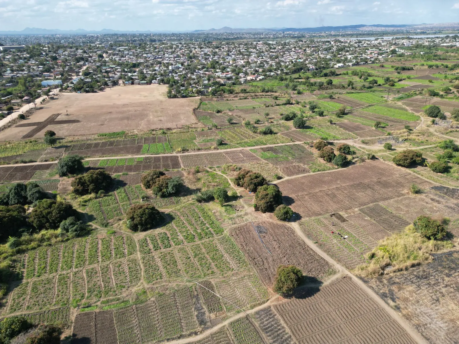
| Decision Date | 25 September 2026 (master plan release) |
|---|---|
| Decision Authority | Bihar Urban Development & Housing Department (under Cabinet approval) |
| Special Area Size | 22,527 acres |
| Core Area Size | 1,656 acres |
| Location | Gaya and Bodh Gaya planning areas; stretches from Gaya city in the north to Bodh Gaya in the south, bounded by Falgu river in the east |
| Core Zone Strategic Location | Junction of Gaya–Dobhi Highway (NH-22) and Gaya–Sherghati Road (NH-119D) |
| Township Theme | Religious tourism and cultural heritage linked to Bodh Gaya and Gaya |
| Part of Larger Initiative | One of 11 greenfield satellite townships including Patliputra (Patna), Hariharnathpuram (Sonepur), Mithila (Darbhanga), Koshi (Saharsa), Ang (Munger), Vikramshila (Bhagalpur), Tirhut (Muzaffarpur), Saran (Chapra), and Sitapuram (Sitamarhi) |
Decision Context and Cabinet Approval
The Bihar government cabinet approved 11 satellite townships around key cities; decisions were taken at the first cabinet meeting chaired by Chief Minister Samrat Choudhary on 22 April 2026. According to officials from the Urban Development and Housing Department Bihar, the proposed townships will be developed based on local strengths, geographical characteristics and future development needs.
Master Plan Release and Area Specifications (as of 25 September 2026)
The Magadh Township Master Plan identified a Special Area of 22,527 acres and a Core Area of 1,656 acres. Prior planning documents had identified slightly different preliminary figures; the September 2026 release represents the official notified master plan. The master plan release marks a key milestone in the phased township development process.
Geographic and Infrastructure Positioning
The core zone is strategically located at the junction of the Gaya–Dobhi Highway (NH-22) and Gaya–Sherghati Road (NH-119D), positioning it as a high-potential urban hub. The Special Area stretches geographically from Gaya city in the north to Bodh Gaya in the south, bounded by the Falgu river in the east and extending towards the Gaya planning area and Rasulganj in the west.
Development Zones and Framework
The proposed townships have been divided into 'Core' and 'Special' zones, with priority initially being given to development within the core zones. Infrastructure development in each township is aligned with its designated theme under the Bihar Urban Planning Scheme Rules, 2026.
Land Transaction Restrictions
There was a ban on sale and purchase of land, transfer of land, and construction of buildings in the proposed township of Gayaji (Magadh) until 31 March 2027. The ban could be lifted earlier if the Master Plan gets prepared at the earliest or once the Master Plan is notified. In June 2026, the Bihar state cabinet approved a proposal to partially relax the land transaction ban across all 11 Greenfield Satellite Township zones.
Practical Effect and Development Objectives
The Gaya township is part of Bihar's larger plan to develop multiple satellite cities across key districts; the initiative seeks to decongest existing urban centres while creating modern, well-planned cities with improved infrastructure and economic opportunities. The projects are expected to include planned road networks, public utility spaces, parks, housing facilities and infrastructure for economically weaker sections.
Development phases
Frequently asked questions
What area does the Magadh Township master plan cover?
The master plan identifies a Special Area of 22,527 acres and a Core Area of 1,656 acres.
What is the geographic extent of the township?
The Special Area stretches from Gaya city in the north to Bodh Gaya in the south, bounded by the Falgu river in the east and extending towards the Gaya planning area and Rasulganj in the west.
Is Magadh the only satellite township being developed in Bihar?
No; it is one of 11 greenfield satellite townships including Patliputra (Patna), Hariharnathpuram (Sonepur), Mithila (Darbhanga), Koshi (Saharsa), Ang (Munger), Vikramshila (Bhagalpur), Tirhut (Muzaffarpur), Saran (Chapra), and Sitapuram (Sitamarhi).
What is the strategic focus of Magadh Township?
Magadh Township near Gaya will focus on religious tourism and cultural heritage linked to Bodh Gaya and Gaya.
Where exactly is the core zone located?
The core zone is strategically located at the junction of the Gaya–Dobhi Highway (NH-22) and Gaya–Sherghati Road (NH-119D).
What authority issued the master plan?
The Urban Development and Housing Department Bihar, in coordination with cabinet decisions, is responsible for township development planning and policy.
Sources
- Magadh Updates on X – Master Plan Release Announcement
- Patna Press – Bihar Cabinet Imposes Land Transaction Ban In 11 Cities Till 2027
- Patna Press – Gaya Satellite Township Master Plan and Land Ban Till March 2027
- Swarajya – Bihar Cabinet Approves 11 Satellite Townships
- Patna Press – Education City and Theme-Based Townships Plan
- ORF Online – Bihar's Satellite Townships: Building Self-Sustaining Cities
- MagadhTownship.com – Official Township Information